Alameda County, California · Wildfire
| Metric | Last report | Now | Change |
|---|---|---|---|
| Size |
0 acres Sep 12, 11:00 PM
|
0 acres
Sep 12, 11:00 PM
|
— |
| Containment | — | — | — |
| Crew size | — | — | — |
| Money spent | — | — | — |
Drag or zoom the map to see more fires in the area.
The Bruns Fire is a wildfire near Alameda County, California. It has burned about under 1 acre. It's a brand-new fire, first reported yesterday. We're also tracking 4 other active fires within about 75 miles.
The size and containment above are current as of Saturday, September 12th at 11:00 p.m. CDT.
Free · No email needed · Results in seconds
Enter your address to get a free wildfire report based on official government data. See every real wildfire near your house, whether a fire warning is active right now, what's around your house from above, and how your area compares to the rest of the country.
No email needed. Your report shows up right on this page. We do not share your address.
Hot, dry, and windy weather can help a fire grow; cool, calm, or wet weather helps crews. The tags below rate each day for fire spread — green is calm, red can push a fire.
A general fire-weather guide (wind matters most, then how dry it is, then heat), not a prediction of what this fire will do.
Tonight
58°F · Clear
Wind 30 to 35 mph WSW · 1% chance of rain
Sunday
80°F · Sunny
Wind 12 to 32 mph W · 1% chance of rain
Sunday Night
58°F · Mostly Clear
Wind 15 to 18 mph WSW · 0% chance of rain
Monday
87°F · Sunny
Wind 10 to 17 mph WNW · 0% chance of rain
Monday Night
58°F · Clear
Wind 10 to 15 mph WSW · 0% chance of rain
Forecast from the National Weather Service (weather.gov), pulled Saturday, September 12th at 11:04 p.m. CDT.
Weather isn't the only thing that changes how a fire moves. The ground matters too: how steep it is, and what's growing on it. These four numbers are for the exact spot where this fire started, not the whole fire. A big fire crosses a lot of different ground.
4° slope
Fire usually moves faster uphill than downhill. Heat and flame lean uphill, drying out the ground above the fire before it gets there.
Not wildfire fuel (NB1)
Urban or developed land. Not a wildland fuel.
0% tree canopy cover
The more tree cover above a fire, the easier it is for the fire to climb from the ground into the treetops. That's called a crown fire. Crown fires move faster, throw embers farther ahead of the fire, and are harder for crews to stop head-on.
134 ft elevation
Elevation by itself doesn't make a fire more or less dangerous. But it shapes the other three numbers here: what grows there, how dry things get, and what the weather does.
Elevation and slope from the USGS 3D Elevation Program; fuel type and canopy cover from LANDFIRE (USGS and U.S. Forest Service), pulled Saturday, September 12th at 7:06 p.m. CDT.
This fire is small enough that no crew size or team has been posted yet. That's normal for a fire this size — those numbers show up once a fire is big enough to need a formal report.
We show the daily official picture. For minute-by-minute updates, evacuation orders, and maps, these do it best:
Within about 75 miles we're tracking 4 other active fires, closest first:
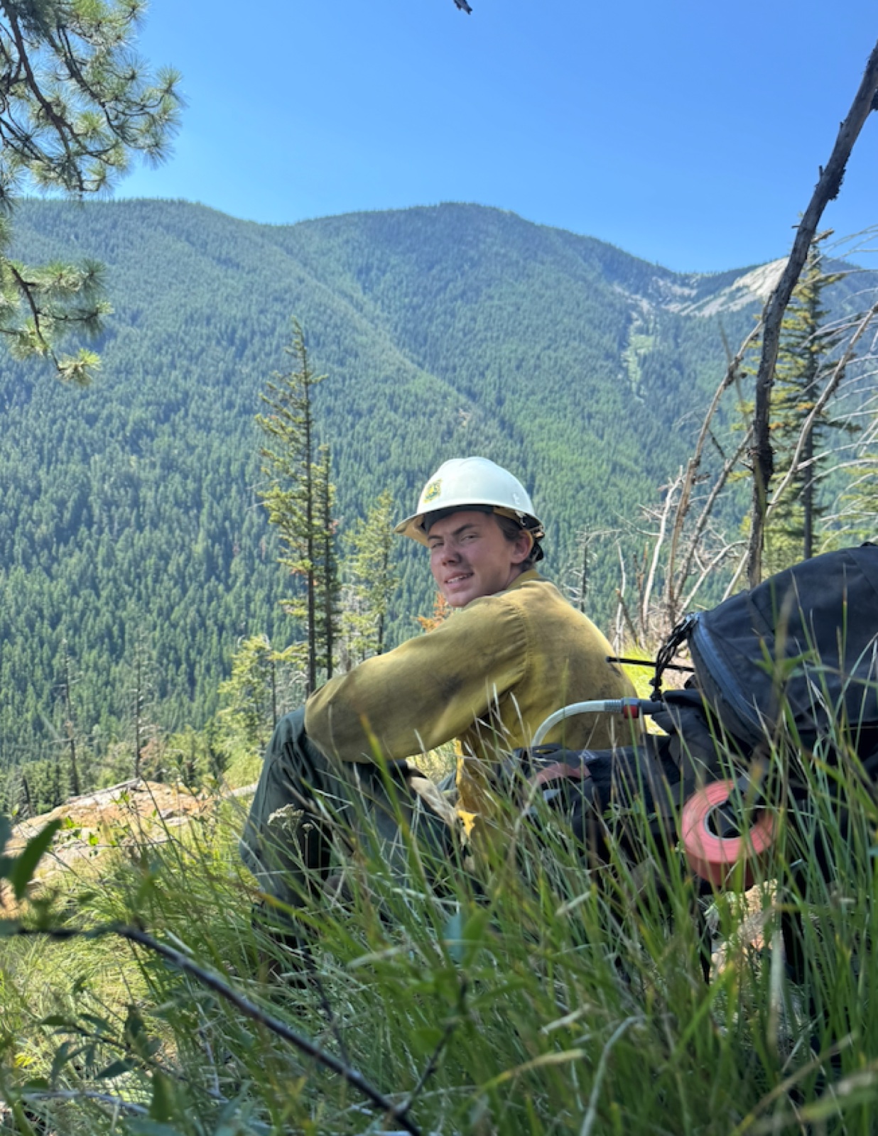
The guy who wrote this site, on a break. Summer 2026.
No college. No experience needed. You learn on the job.
Who fits:
Jobs in all 50 states, most of them out West. Most crews hire in fall and winter for the next summer. California has 59 open right now, 5 for beginners. See them.
Know someone who fits?
Send them a link to woodlandfirefighter.com. It explains the job and how to get hired.
Want to talk to a real wildland firefighter?
I spent summer 2026 on a Forest Service crew in Montana. Happy to answer any questions. 30-minute call, $37.
Book a 30-minute callDrop your email. Get the free guide.
Inside: the pay breakdown, a resume template, a training plan for the fitness (pack) test, and the hiring timeline.
100% free. No spam. Unsubscribe anytime.